Distances Between Madagascar's Cities
- For the North -
- For the North -
From Antananarivo to Nosy Be:
- By plane: 1 hour 5 minutes flight
- By road: 883 km to Ankify plus 45 minutes by boat
From Antananarivo to Diego Suarez / Antsiranana
- By plane: 1 hour 55 minutes flight
- By road: 1,094 km
- For the East -
From Antananarivo to Tamatave / Toamasina
- By plane: 45 minutes flight
- By road: 354 km
From Antananarivo to Sainte Marie Island / Nosy Bohara
- By plane: 55 minutes flight
- By road: 354 km to Tamatave plus 3 hours by boat
- For the South -
From Antananarivo to Antsirabe
- By road: 170 km
From Antananarivo to Fianarantsoa
- By road: 411 km
From Antananarivo to Tuléar / Toliara
- By plane: 1 hour 25 minutes flight
- By road: 927 km
From Antananarivo to Anakao
- By road: 927 km to Tuléar plus 270 km
- Approximately 1 hour by boat from Tuléar
From Antananarivo to Ifaty
- 45 km further from Tuléar
From Antananarivo to Andavadaoka
- 210 km further from Ifaty
- Towards the South East -
From Antananarivo to Manakara
- By road: 571 km
From Antananarivo to Fort Dauphin / Tolagnaro
- By plane: 1 hour 15 minutes flight
- By road: 1,110 km
- Towards the West and Central West -
From Antananarivo to Morondava
- By plane: 1 hour flight
- By road: 655 km
From Antananarivo to Majunga / Mahajanga
- By road: 546 km
From Antananarivo to Ampefy
- By road: 123 km
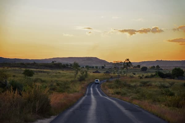
Be aware: kilometers in Madagascar are deceptive… You should expect nearly twice the driving time compared to European distances. In other words, reaching Ampefy (123 km) requires a minimum of 3 hours. To reach Manakara (571 km) or the most distant destinations like Diego Suarez (1,094 km), plan for up to 19 hours. Don't worry—we break up journeys into stages, which also allows you to discover the country in the most beautiful way possible.
