Complete Madagascar Guide
Madagascar is not an island, it's a miniature continent. From our agency in Antananarivo, we see travelers every week underestimating distances: 1,000 km of road on the RN7 between the capital and Tuléar require a minimum of five to six days, as landscapes change so rapidly. Terraced rice fields of the Highlands, humid forest of the East where indris sleep, semi-arid savanna of the South-West dotted with Adansonia grandidieri baobabs, turquoise beaches of Nosy Be in the North: each region sets its own pace.
Fauna concentrates 80% of endemic species. People come for the lemurs, of course (about a hundred described species, from the 30-gram mouse lemur to the indri that sings at daybreak in Andasibe park), but also for chameleons, tenrecs, humpback whales that skirt Sainte-Marie from July to September. On the cultural side, the 18 Malagasy ethnic groups share a common language and strong traditions centered around ancestors, notably the famadihana in the Highlands between June and September.
For a first trip, plan a minimum of fifteen days to combine two ecosystems (Andasibe and the South, or the Tsingy of the West and the Avenue of the Baobabs). Three weeks allow you to add a beach extension to Nosy Be or Sainte-Marie. Noro and our team build your itinerary according to your interests and the season.
The regions of Madagascar
Each region has its own personality: climate, landscapes, pace of life and ways of traveling. Our local team helps you choose the combination that suits you.
Central Highlands
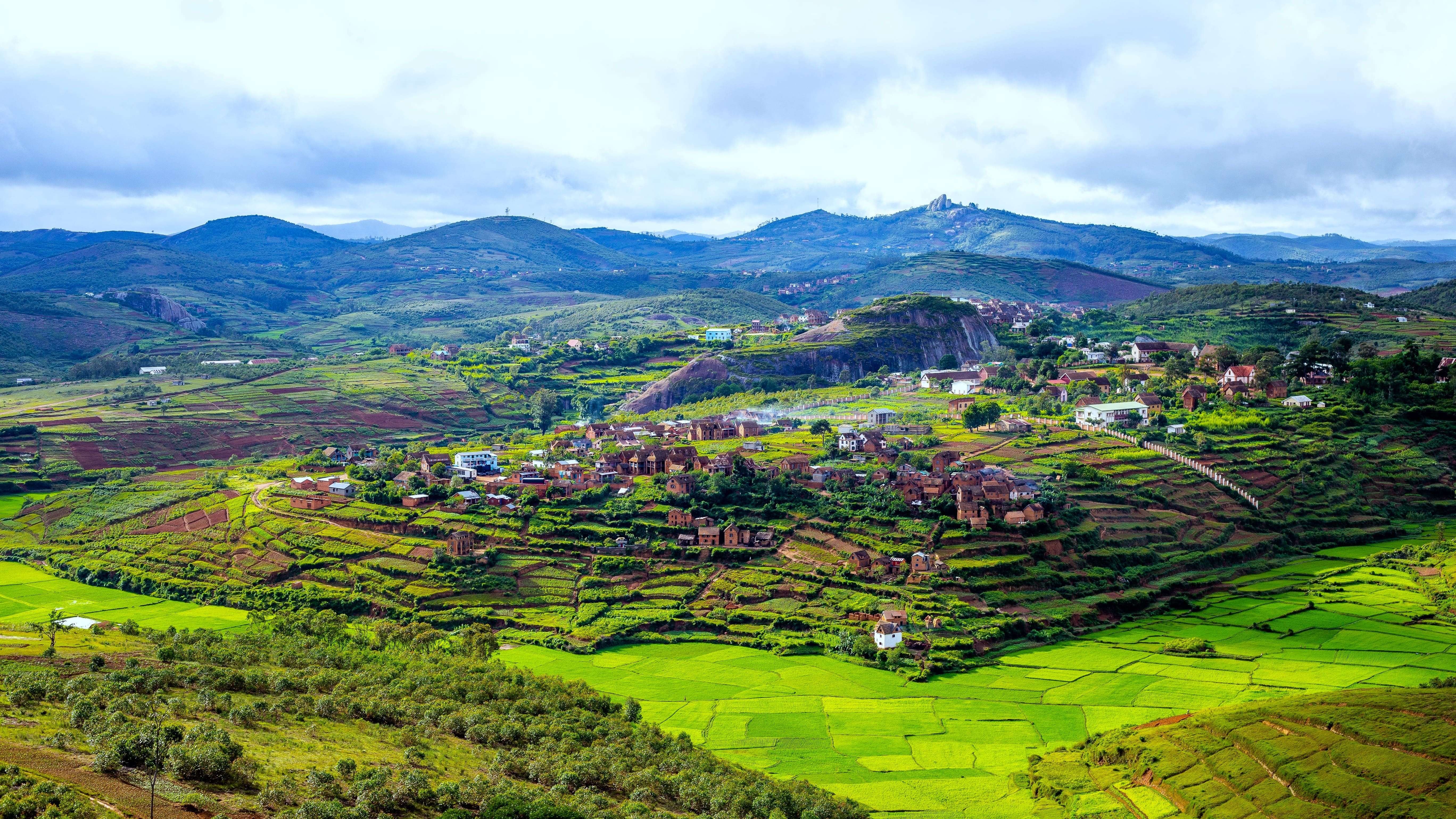
In the heart of the island, between 1,200 and 1,500 metres altitude, the Highlands concentrate the capital Antananarivo, the royal city of Ambohimanga and the former capital Antsirabe. The landscape is made up of terraced rice paddies, villages with multi-storey red brick houses and colourful markets like Ambositra's, the capital of zafimaniry craftsmanship. Temperatures drop to 5°C at night in July, so bring a fleece. This is where most itineraries start: two to three days are enough to acclimatise, visit a silk workshop in Arivonimamo and taste romazava before heading south or west.
South and RN7
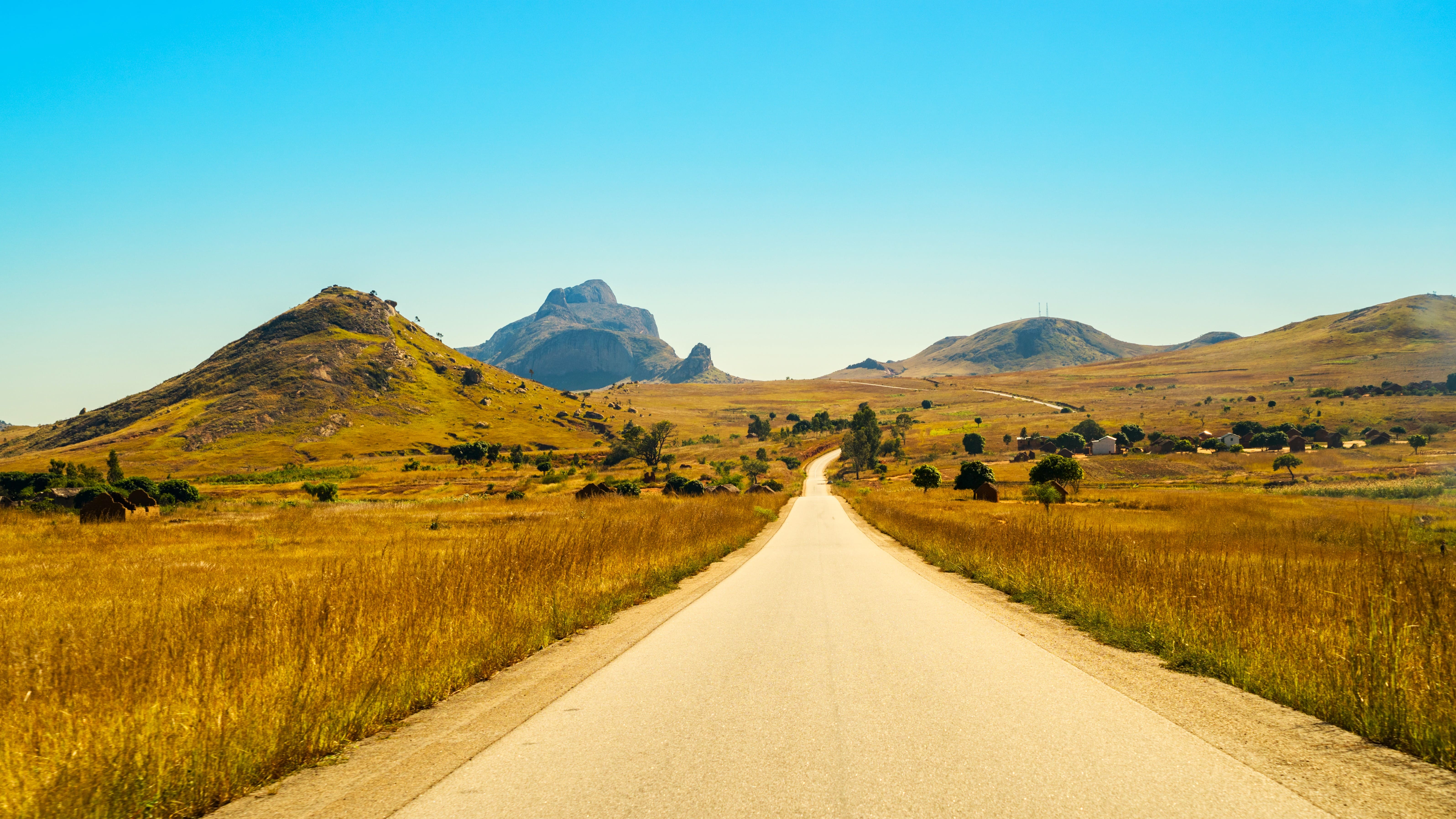
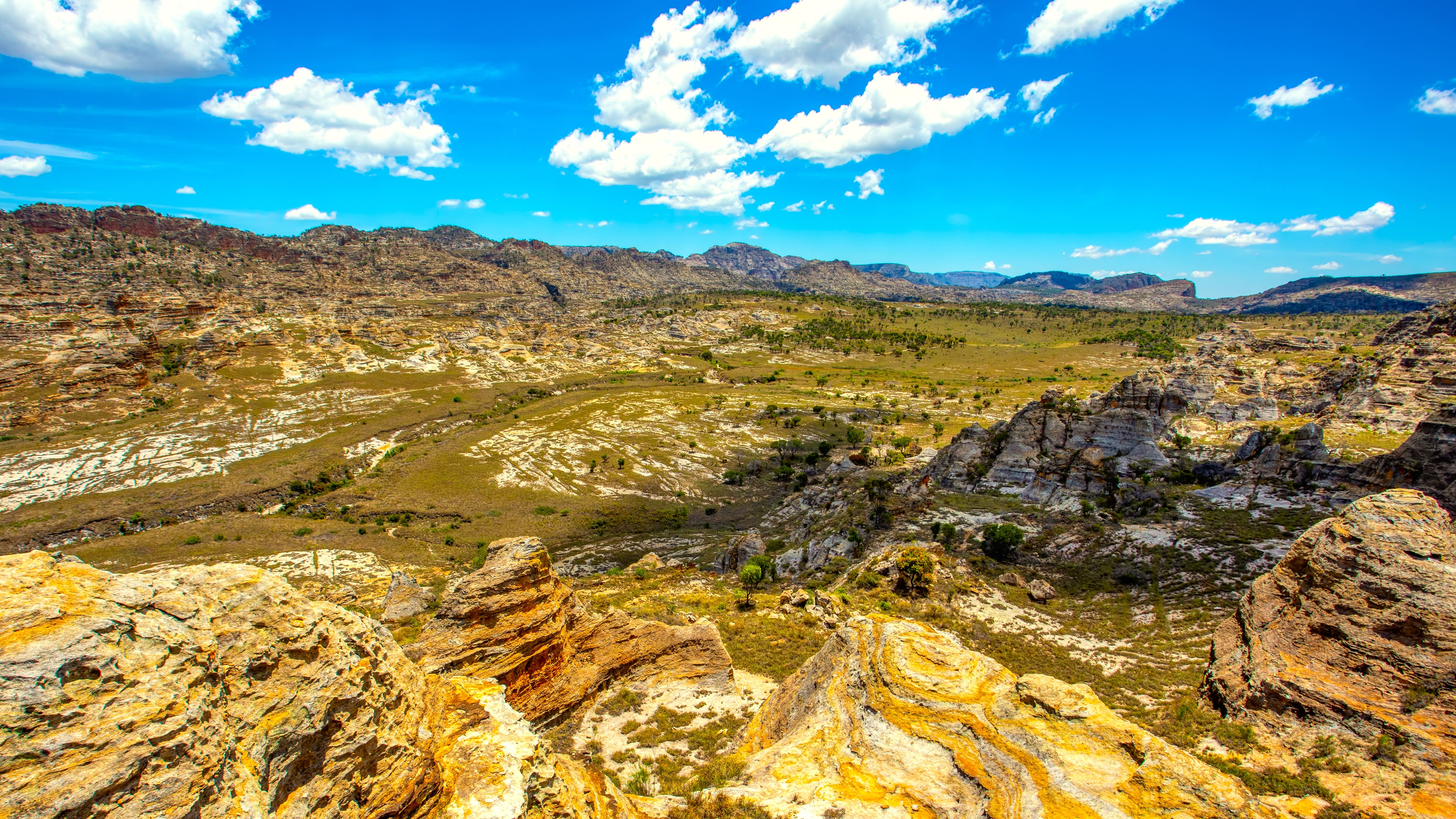
The descent of the RN7 towards Tuléar remains Madagascar's backbone. In seven to ten days, you cross the Betsileo country around Fianarantsoa and its vineyards, Ranomafana National Park with its rainforest, the granite massif of Andringitra which peaks at 2,658 metres, then Isalo National Park and its sandstone canyons. The climate becomes drier as you move south. You can observe ring-tailed lemurs, sifakas and over a hundred bird species. The road is asphalted but slow: plan for an average of 250 km per day. A possible final stop at Ifaty for the sea.
West and Tsingy
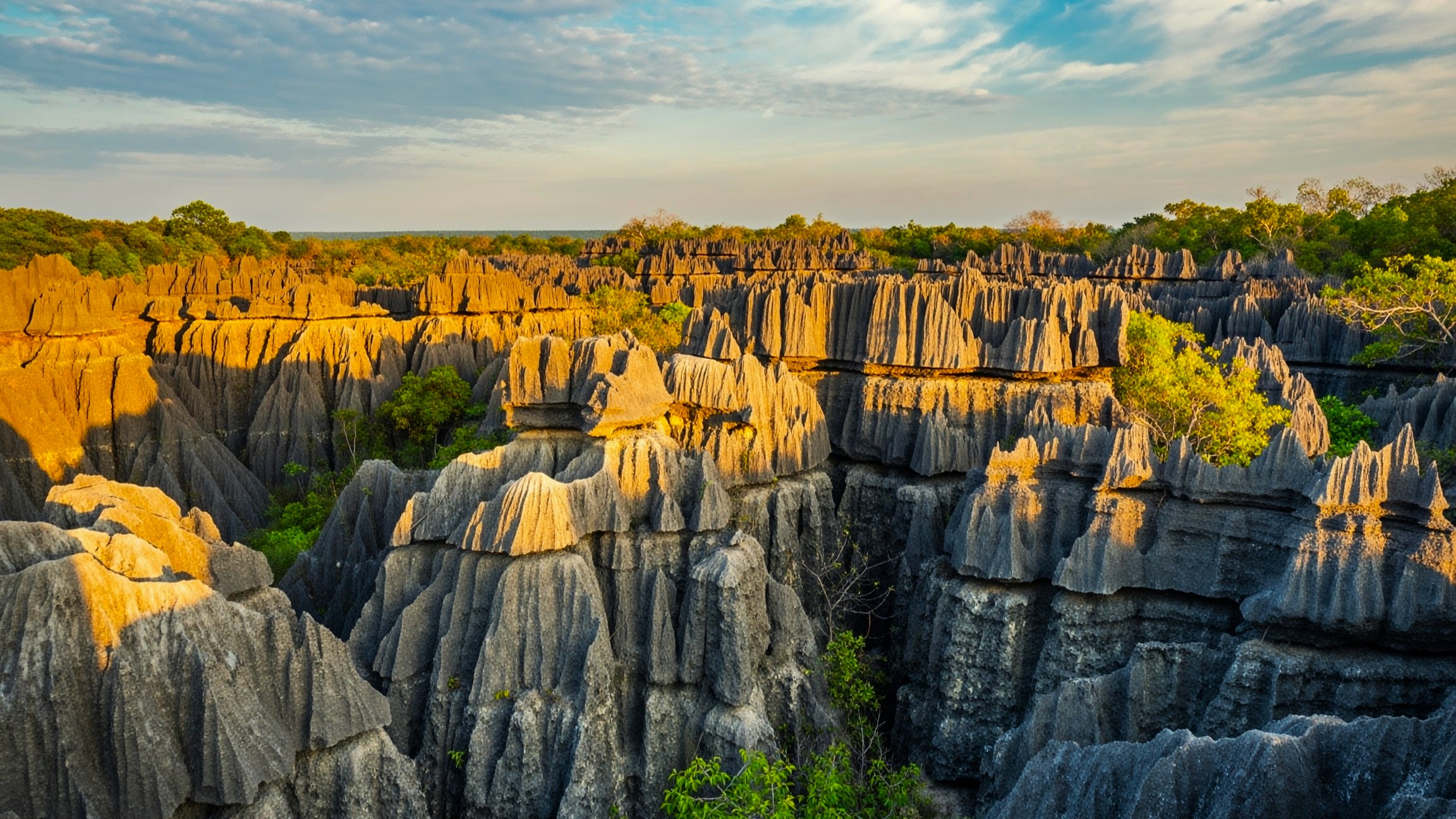
In the West, around Morondava, two sites concentrate visitor attention: the Avenue of the Baobabs, 20 km from the city, photographed at sunrise and sunset, and the Tsingy de Bemaraha park, those cathedrals of eroded limestone listed as a Unesco World Heritage site. Access to Bemaraha requires two days of rough tracks in 4x4 and two ferry crossings over the Tsiribihina and Manambolo rivers, only between April and November. A three-day pirogue descent down the Tsiribihina is an adventurous alternative. Hot and dry climate, expect 30 to 35°C during the day from October to December.
North and Nosy Be
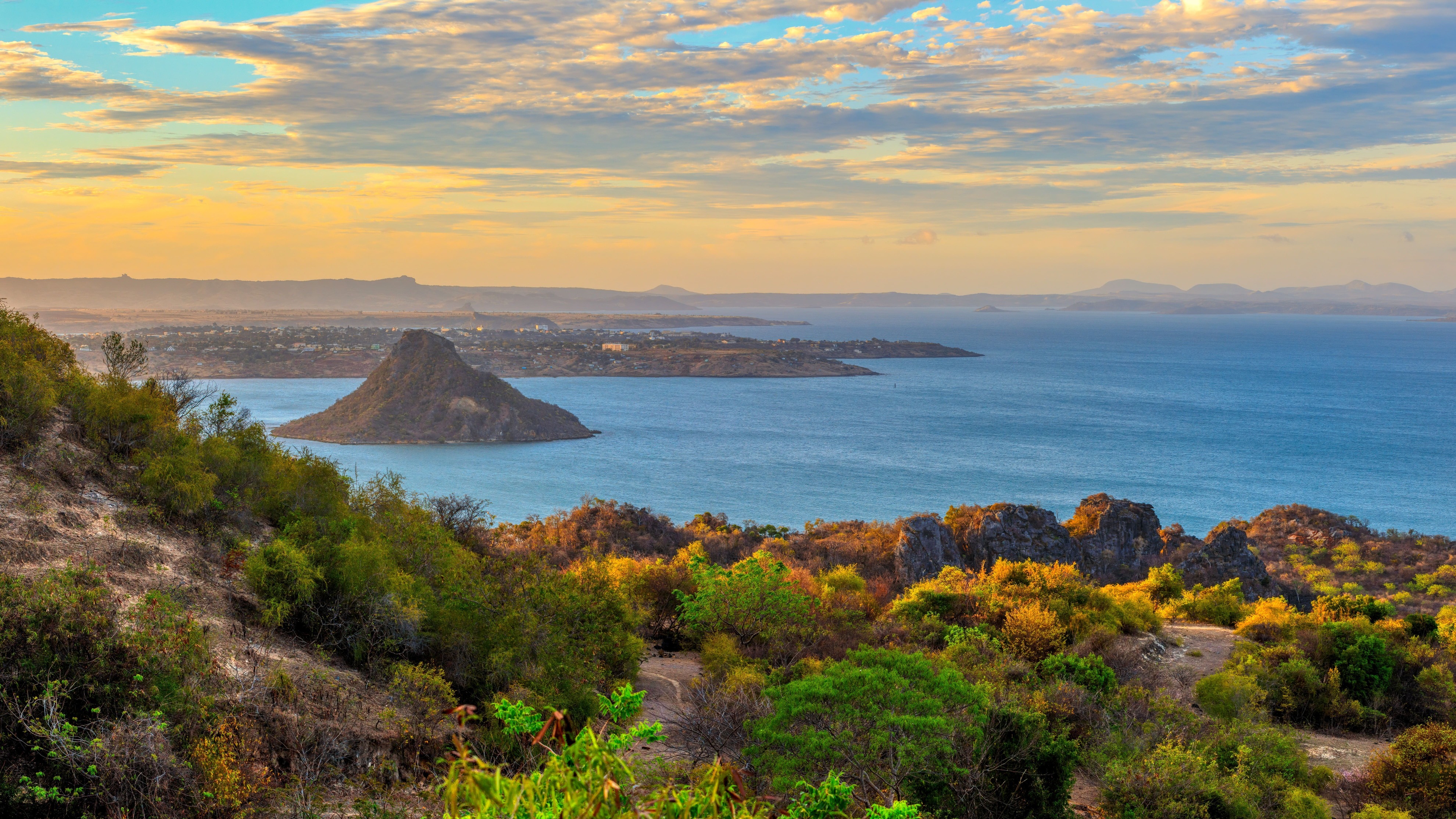
The North is reached by flight from Antananarivo, two hours to Nosy Be or Diego Suarez. It's the most contrasting region: Amber Mountain and its waterfalls, red tsingy near Diego, Sakalava Bay for kitesurfing, the Nosy Be archipelago with its islets Nosy Iranja, Nosy Komba and Nosy Sakatia for diving and snorkeling. The water stays at 26-28°C year-round. Peak season: September to November to combine wildlife and whale sharks off Nosy Be. Plan for a minimum of five days on site to explore between the islands.
East and Sainte-Marie
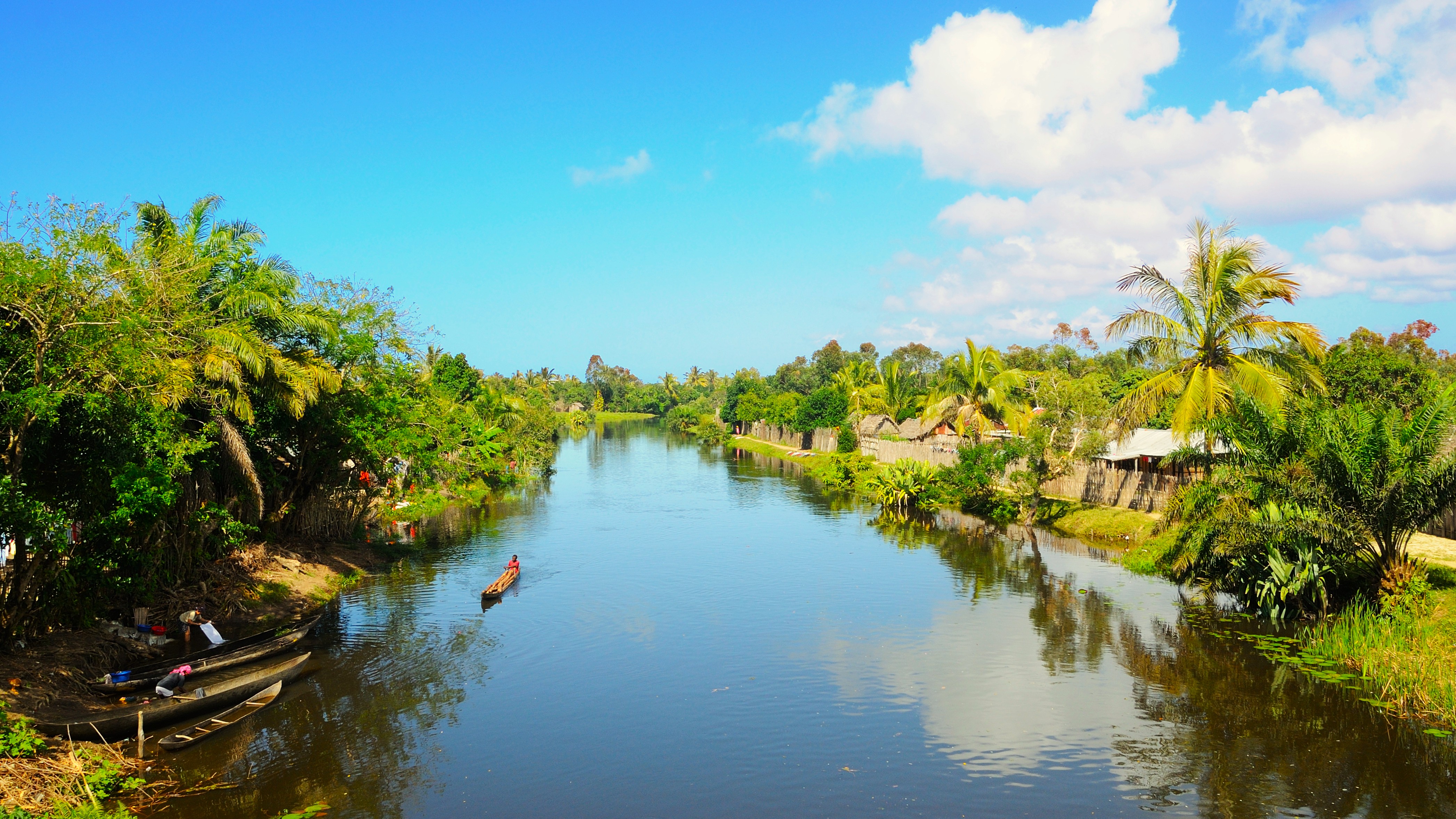
The East Coast is lush and humid, bordered by the Pangalanes Canal, a navigable lagoon system stretching 600 km. Andasibe-Mantadia, four hours' drive from the capital, is home to the indri, the largest living lemur, whose call carries up to two kilometers away. Further north, Sainte-Marie Island is a prime spot for observing humpback whales from July to September, when 400 to 700 individuals come to calve in the canal. The climate is rainy: cyclone season runs from January to March, best avoided. May to October offers the best weather windows for this part of the island.
Grand South
Beyond Tuléar, the Grand South shifts into thorny semi-desert: didier forests, dwarf baobabs, Mahafaly and Antandroy peoples with sculpted tombs. The track to Fort-Dauphin via Itampolo and Lavanono takes six to eight days by 4x4—an adventure journey reserved for hikers and ethnology enthusiasts. On the coast, the Anakao lagoon and coral barrier extend for 250 km. Very dry climate, less than 400 mm of rain per year. This region requires solid logistical preparation: we organize it on request, with two vehicles for safety reasons.
Explore by theme
Unique experiences tailored to every traveler.
Culture & Heritage
Temples, musées, sites historiques
Nature & Landscapes
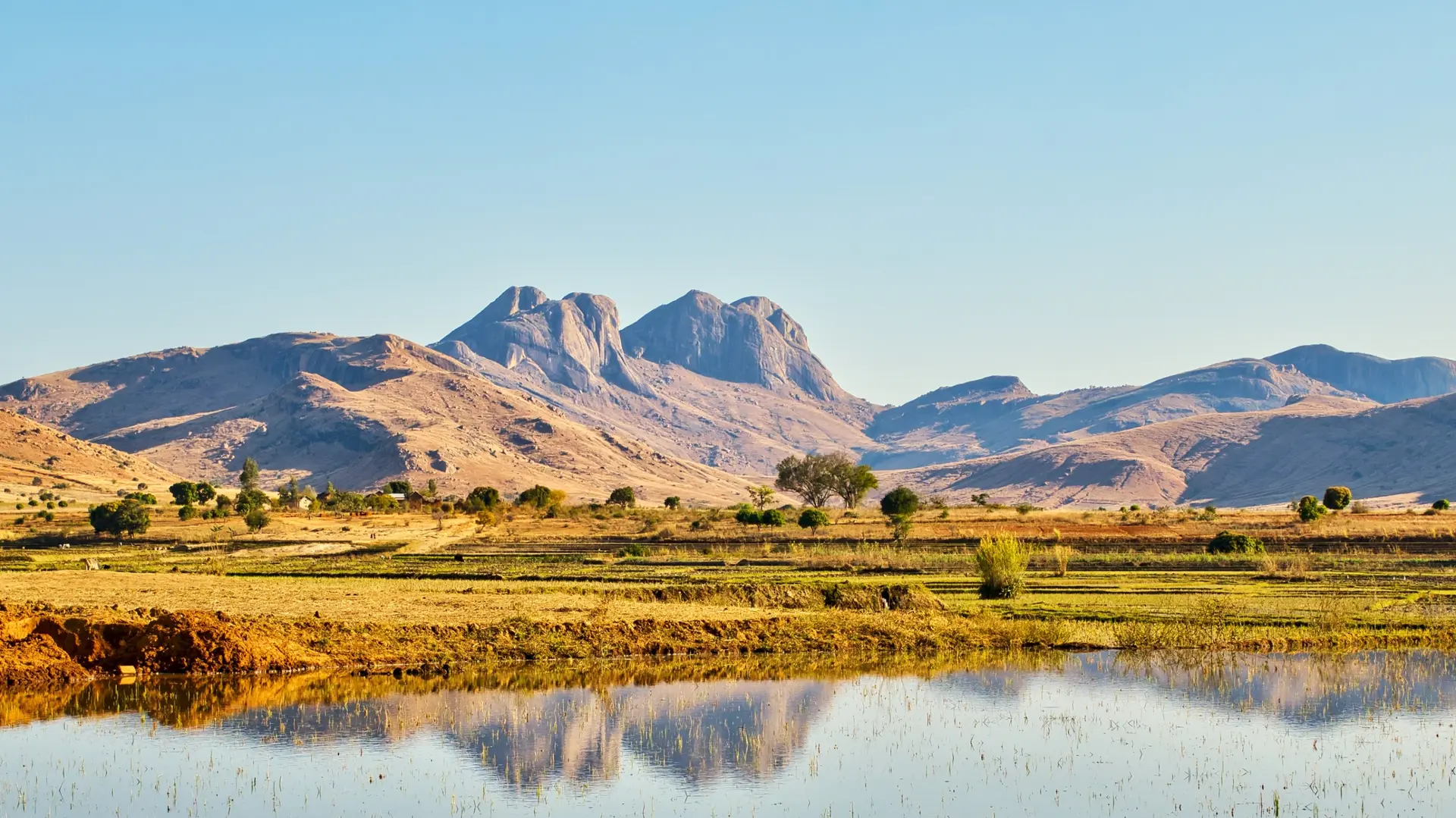
Parcs nationaux, montagnes, forêts
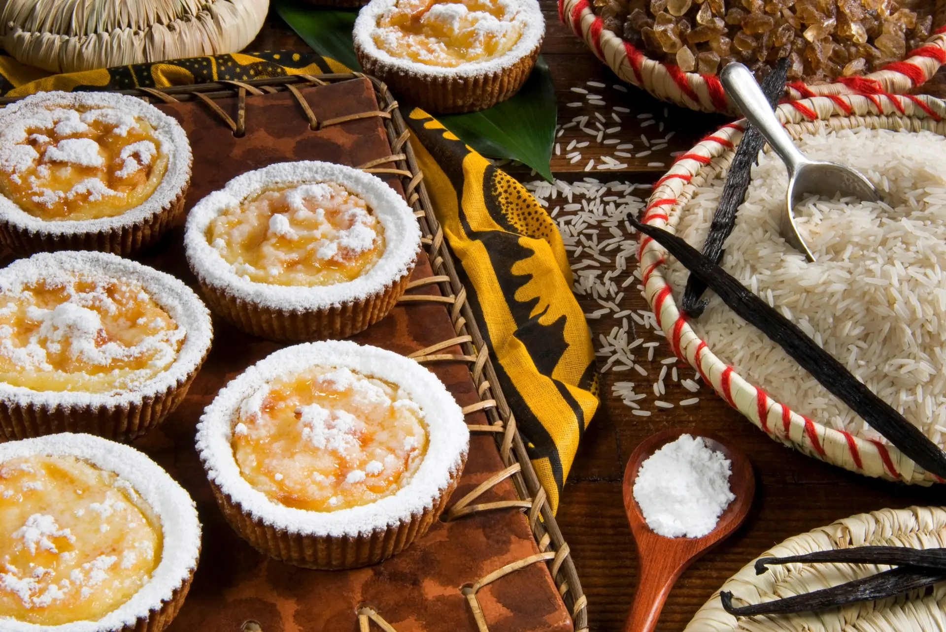
Gastronomy
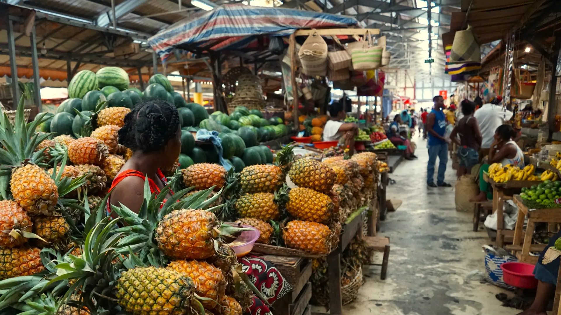
Cuisine locale, marchés, cours de cuisine
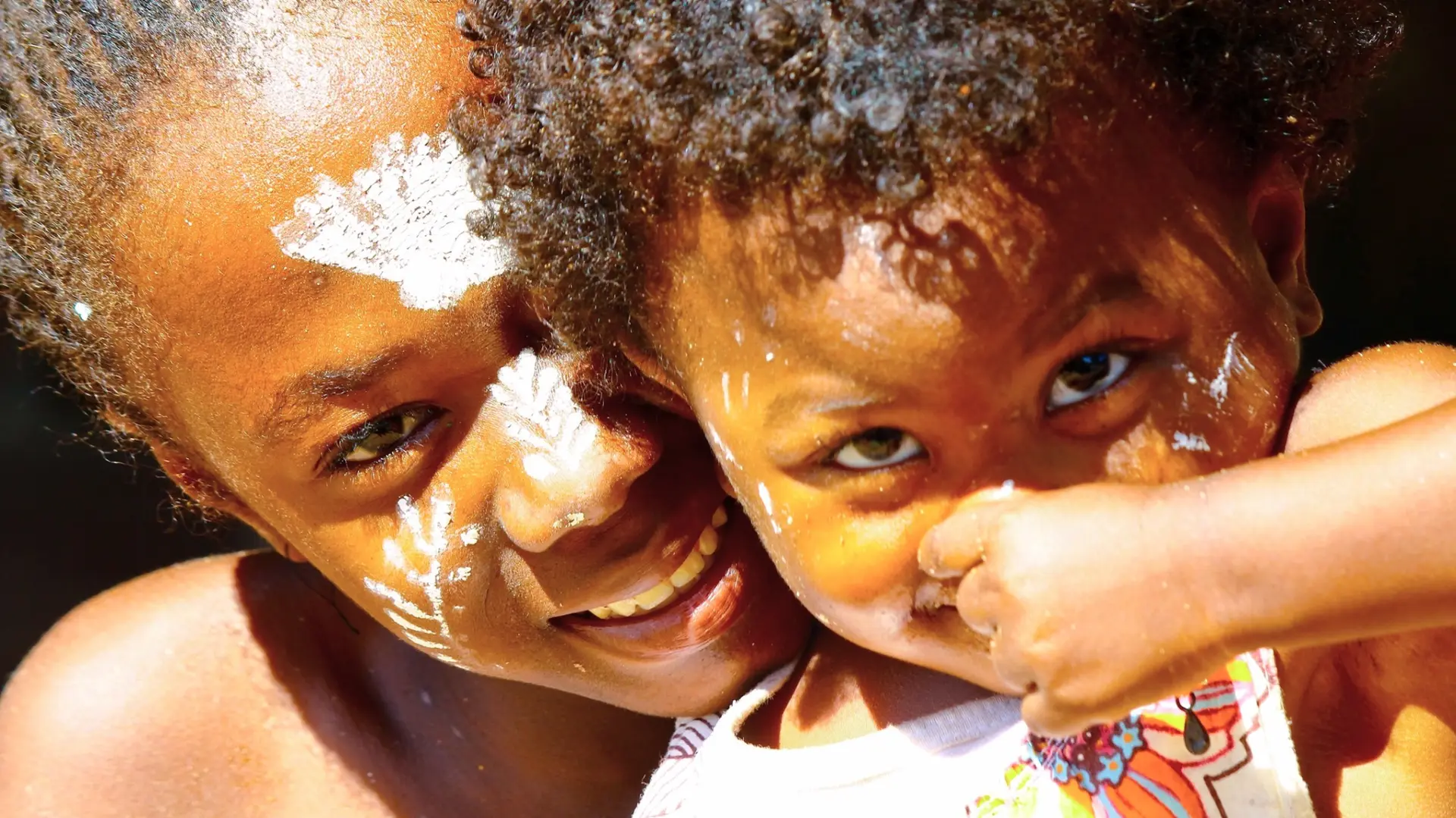
Local Life
Marchés, villages, rencontres locales

Spirituality
Temples, méditation, retraites spirituelles
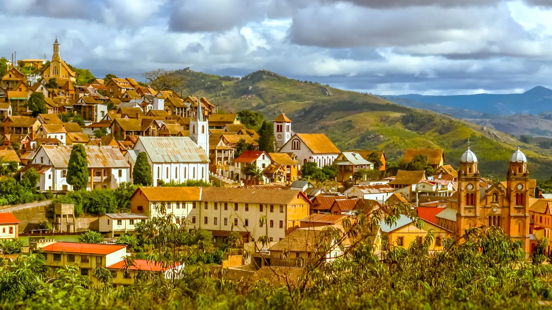
City & Architecture
Architecture, urbanisme, quartiers historiques
We use cookies to improve your experience and measure our site's audience. You can choose what you accept. Learn more.