French Mountain
French Mountain
East of Diego-Suarez, French Mountain combines dry forest, lemurs, panoramic views over the bay and Madagascar's major archaeological site.
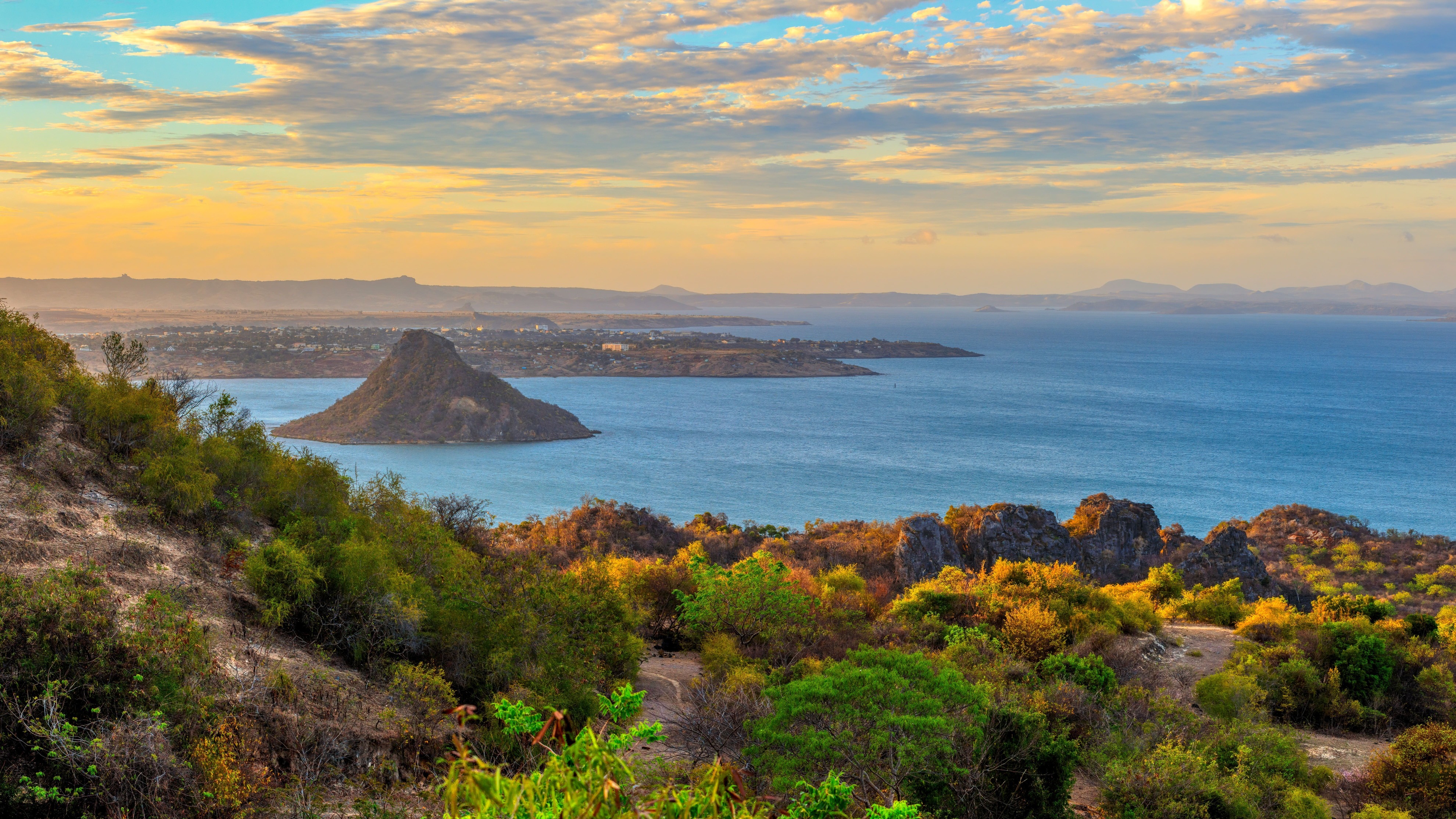
East of Diego-Suarez, on the road to Ramena, French Mountain — Tendrombohitr'Antsingy in Malagasy — overlooks Diego-Suarez Bay and its string of beaches. A limestone massif covered in baobabs and orchids, it combines botanical interest, endemic fauna and military remnants from the first half of the 20th century.
Why visit French Mountain?
The site combines several rare assets in close proximity to a city. In half a day's hike, you traverse the dry forest typical of northern Madagascar, encounter lemurs and chameleons, and reach viewpoints embracing the entire Diego-Suarez Bay, one of the world's largest. History enthusiasts will find French military bunkers and fortifications, while archaeology lovers know that Andavakoera Gorge ranks among the country's oldest excavation sites.
- Panorama over Diego-Suarez Bay and Sugarloaf Peak
- Endemic dry forest: baobabs, Pachypodium, aloes, orchids
- Accessible wildlife: lemurs, chameleons, endemic birds
- French military remnants from the 20th century
- Madagascar's major archaeological site
Military and archaeological history
French military occupation
The massif's current name reflects its occupation by French military forces in the 20th century. Diego-Suarez (Antsiranana) then housed an important naval base, and nearby heights were fortified to monitor the bay and its entrance channel. Bunkers, casemates and trenches persist along the trails, testifying to World War II and notably the 1942 Battle of Madagascar, when British forces landed to recapture the base from Vichy authorities.
Madagascar's oldest archaeological site
Long before the military, the massif yielded evidence of very ancient human occupation. In Andavakoera Gorge, researchers uncovered archaeological layers containing bone fragments and pottery debris, as well as remains of giant tortoises and large lemurs now extinct. The site is regularly presented as Madagascar's oldest known archaeological deposit, making it a key reference for understanding the settlement of the Great Island and the disappearance of its megafauna.
What to see and do?
The dry forest and its baobabs
The trails traverse xerophytic vegetation characteristic of northern Madagascar. You'll encounter several baobab species, Pachypodium with miniature baobab-like silhouettes, aloes, spiny plants and, in the rainy season, flowering orchids. The forest changes dramatically between the dry season, more mineral in appearance, and the beginning of the rainy season, when everything turns green again.
Wildlife
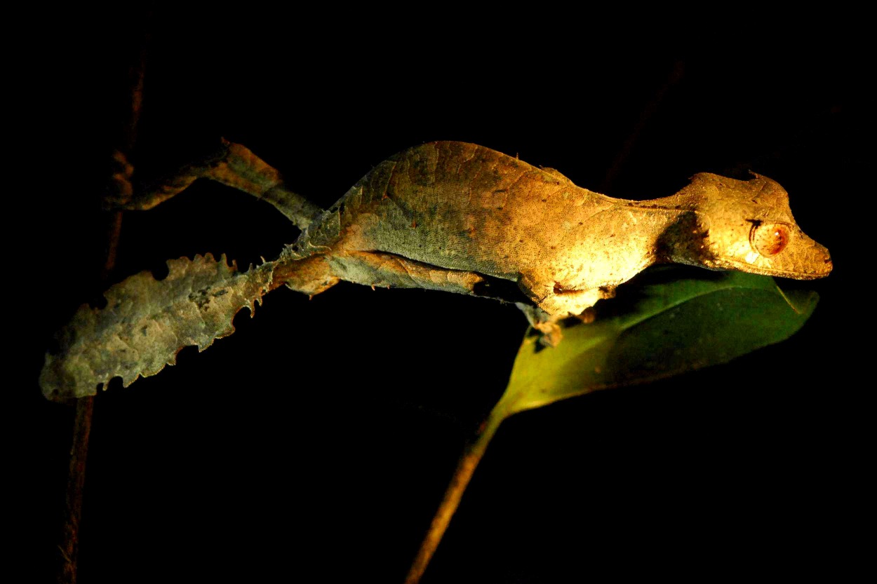
The valley is home to lemurs (notably crowned lemurs), several chameleon species, geckos, harmless snakes and numerous endemic birds. Local guides know how to spot them in the canopy and explain observed behaviors.
Viewpoints
The summit and ridges offer panoramas over Diego-Suarez Bay, Sugarloaf Peak (Nosy Lonjo) and, on clear days, as far as the Emerald Sea. Several routes exist, from a family-friendly trail spanning a few kilometers to a full-day sport hike, sometimes combined with some rock climbing on the limestone walls frequented by climbers.
When to go?
The dry season, from April to November, remains the most comfortable period for hiking: passable trails, clear skies and more bearable temperatures at altitude. From December to March, the rainy season makes certain trails slippery and exposes you to heat, but it's also when vegetation is most lush and orchids in bloom. Avoid the hottest hours: an early morning departure guarantees soft light over the bay and better chances of spotting wildlife.
Practical information
- Duration: allow 3 to 6 hours depending on the route chosen.
- Level: easy to challenging. Some sections are rocky and sun-exposed.
- Equipment: closed hiking shoes, hat, sunscreen, plenty of water (at least 2 liters per person), snacks.
- Guide: recommended. A local guide facilitates wildlife identification, secures the route and recounts the site's military history.
- Fee: moderate entrance fee, payable on site; budget an additional amount for the guide.
- Safety: don't venture out alone late in the day and stay on marked trails.
How to get there?
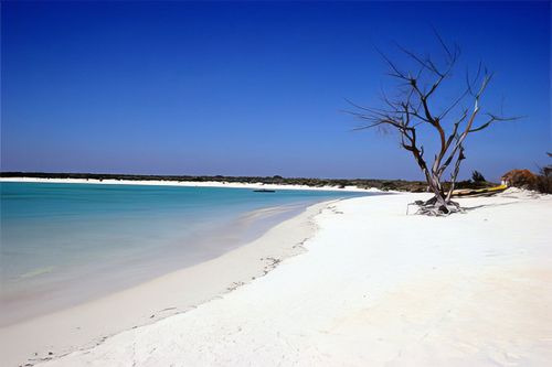
The site is located about ten kilometers east of Diego-Suarez (Antsiranana), on the road leading to the beach village of Ramena. From the city center, allow about twenty minutes by taxi, bush taxi or private vehicle. Most Diego-Suarez accommodations can arrange transfers or connect you with a guide. The hike often combines with an afternoon at Ramena or the Emerald Sea.
Combine in your journey
Diego-Suarez and the North constitute a distinct region of Madagascar, worth combining with other stages to grasp the country's diversity. To extend the nature experience, Ranomafana National Park and Andringitra Massif, further south, offer very different ecosystems — humid forest on one side, high granite reliefs on the other. For wildlife, Lemurs' Park, near Antananarivo, allows a first approach to lemurs. For culture, meeting the Zafimaniry and their carved wood art complements an itinerary well, as does a stop at Independence Square in Antananarivo.
Include French Mountain in your itinerary
French Mountain naturally integrates into a stay in the North, between Diego-Suarez, the Emerald Sea, Ramena and, for those with more time, Amber Mountain or the Red Tsingy. To build a custom journey blending hiking, endemic wildlife and Malagasy culture, explore our Madagascar travel ideas.
Interested in this visit?
We can include it in your personalised itinerary.