Grand South
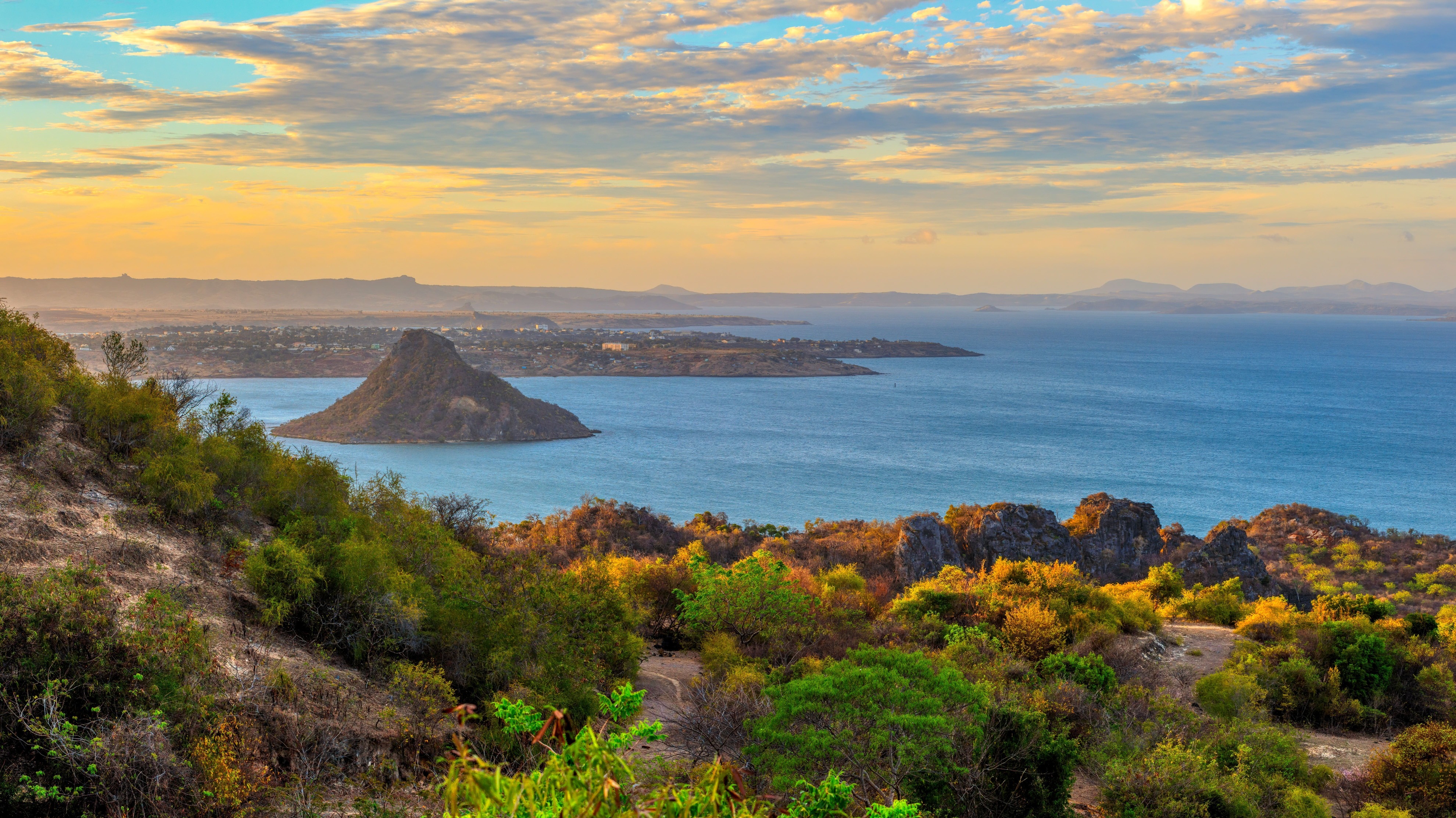
Beyond Tuléar, six to eight days of track through spiny bush, Mahafaly tombs and the Vezo coast to Fort-Dauphin.
The Grand South begins where the RN7 ends, beyond Tuléar. Past the village of Saint-Augustin and the Onilahy delta, the landscape shifts within kilometres: rice paddies vanish, laterite gives way to sand and limestone, and vegetation bristles with endemic plants found nowhere else on the planet. This is the realm of spiny bush, an ecosystem classified by WWF among Madagascar's most singular, where chandelier-branched didiéracées coexist with thick-trunked pachypodiums, tree-sized euphorbias and several species of dwarf baobabs.
Administratively, the Grand South covers the Atsimo-Andrefana, Androy and Anosy regions—roughly 100,000 km² with very sparse population density. Two peoples dominate here: the Mahafaly to the west, around Ampanihy and Betioky, recognisable by their aloalo, sculptured wooden funeral steles planted on tombs and topped with zebus or scenes from the deceased's life; the Antandroy to the east, in the Ambovombe and Tsihombe zone, who practise extensive zebu herding and surround their tombs with standing stones. Funeral art is a powerful identity marker: the deceased are given monuments more carefully built than the homes of the living, and some inhumation or turning-of-the-bones ceremonies gather hundreds of zebus.
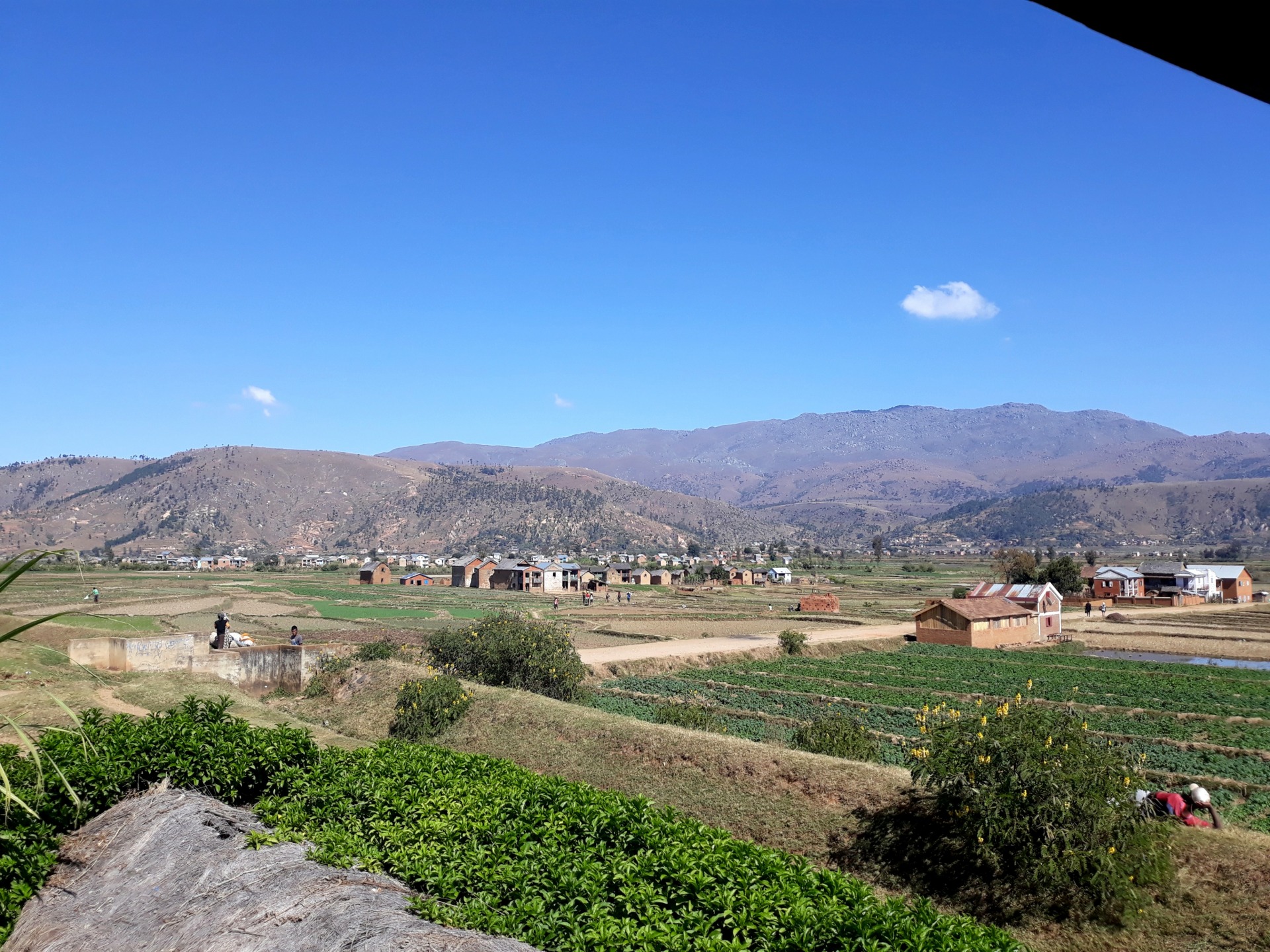
Climate governs everything. With fewer than 400 mm of annual rainfall—sometimes 300 mm in Androy—this is the country's driest region. The rainy season concentrates between December and February, but remains irregular: some years, villages endure two or three consecutive droughts, what the Antandroy call kere, famine. Drinking water is scarce, women still walk several kilometres to reach wells, and cultivation focuses on cassava, maize and sorghum. This aridity also explains the sparse village distribution along the track: often two hours of driving separate inhabited settlements.
On the coast, the Grand South wears a different face. In the northern zone, the Anakao lagoon, sheltered by a coral barrier extending nearly 250 km from Andavadoaka towards Itampolo, harbours Vezo fishing villages—sailors and free-divers who set out under sail on their outrigger canoes. Further south, Lavanono is one of the Indian Ocean's recognised surf breaks, frequented by a handful of surfers willing to endure four days of track for the wave. Between the two, the coast alternates limestone cliffs, white dunes and coves fringed with coconut groves, with almost no lodging in between.
The track linking Tuléar to Fort-Dauphin via the coast—through Itampolo, Androka and Lavanono—demands six to eight days of 4x4 driving depending on ford conditions and ferries across the Onilahy and Linta rivers. This is no marked route: you sleep in local homes, under canvas, or in two or three rustic lodges; you carry fuel for sections without petrol stations; and you should plan for two vehicles for safety. The interior, around the private Berenty reserve and Andohahela park near Fort-Dauphin, adds a naturalist dimension: lemur makis and sifakas, transitional forest between spiny bush and the humid forest of Anosy.
The Grand South is not a region to rush through or easily combine. It is an adventure journey in the true sense: long hours on rough tracks, basic comfort, dependence on weather and vehicle mechanics. In return, you traverse landscapes few travellers see, share daily life with rural communities where cash economy is marginal, and gain concrete understanding of what it means to live in Madagascar's semi-arid zones.
Must-see
Didiéracée forests and dwarf baobabs. Between Itampolo and Androka, the track crosses kilometres of spiny bush where Alluaudia procera rear their vertical branches to ten metres. The Adansonia rubrostipa baobabs, squat and swollen, punctuate the dry savanna.
Mahafaly tombs and sculpted aloalo. Around Ampanihy and Betioky, Mahafaly cemeteries are visible from the track: painted enclosures with figurative scenes, topped with wooden stelae telling the deceased's life story. Visits are always made accompanied by a family member.
Anakao lagoon and Vezo villages. Facing Tuléar, an hour's motorised pirogue crossing reaches Anakao, then outings under traditional sail with Vezo fishermen. Snorkelling on the coral barrier, Nosy Ve beach where red-tailed tropicbirds nest.
Lavanono surf. Four days of track from Tuléar to reach this left-hand reef break renowned among Indian Ocean surfers. Lodging in a single lodge run by a Franco-Malagasy couple, true end-of-world atmosphere.
Berenty reserve near Fort-Dauphin. Gallery forest of tamarind trees along the Mandrare, populated by lemur makis and Verreaux's sifakas leaping laterally between branches. Night-guided visits to observe mouse lemurs.
When to go
The best period extends from April to November, with an optimal window between May and October. During these months, daytime temperatures remain between 25 and 32 °C on the coast and interior, nights drop to 15-18 °C in June-July in Androy, and tracks are passable without major difficulty. This is also when humpback whales are best observed from Anakao, between July and September.
From December to March, we advise against traversing the coastal track. Although total rainfall remains low, rain concentrates in violent storms rendering several ford passages impassable, notably the Linta and Menarandra. Interior temperatures climb to 35-38 °C, humidity increases, and ferries can get stuck for days. Only direct air access to Fort-Dauphin and visits to Berenty remain feasible during the rainy season.
Practical tips
We recommend a minimum of ten days for the Tuléar–Fort-Dauphin coastal crossing, excluding travel time from Antananarivo. Allow rather twelve to fourteen days to include a stop in Anakao, two nights in Androy with local families, and Berenty reserve at journey's end. Distances are short in kilometres but long in hours: 80 km of track can take a full day. Logistical entry point: Antananarivo–Tuléar flight, then northward to Fort-Dauphin from where you fly back. Round-trip by road makes no sense.
The Grand South logically combines with the South and RN7, its natural extension northward, allowing you to string together Isalo, Ranomafana and the Highlands on the return to the capital. It suits travellers already experienced with demanding destinations: motorcycle expeditions in Mongolia, Sahara crossings, treks in Ethiopia. Comfort is rustic, sometimes under canvas, facilities are basic, meals repetitive (rice, zebu, grilled fish). Conversely, this is ideal terrain for ethnology enthusiasts, endemic botany lovers and documentary photographers. We systematically organise with two 4x4 vehicles, one mechanic-driver per vehicle, and an English-speaking guide familiar with village entry protocols.